|
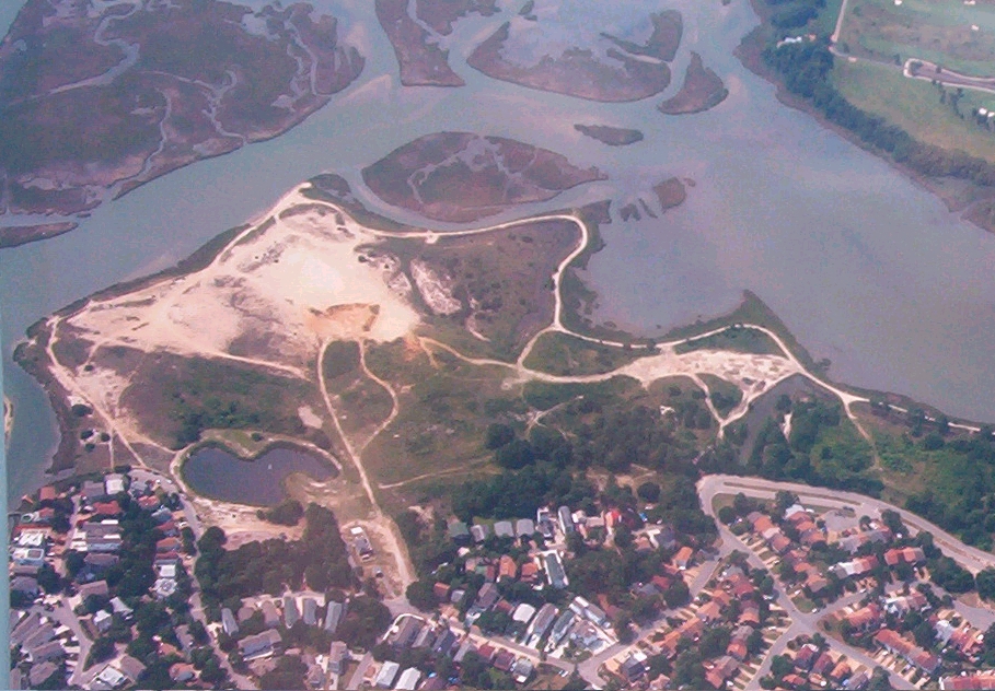
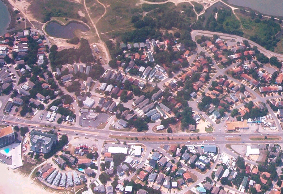
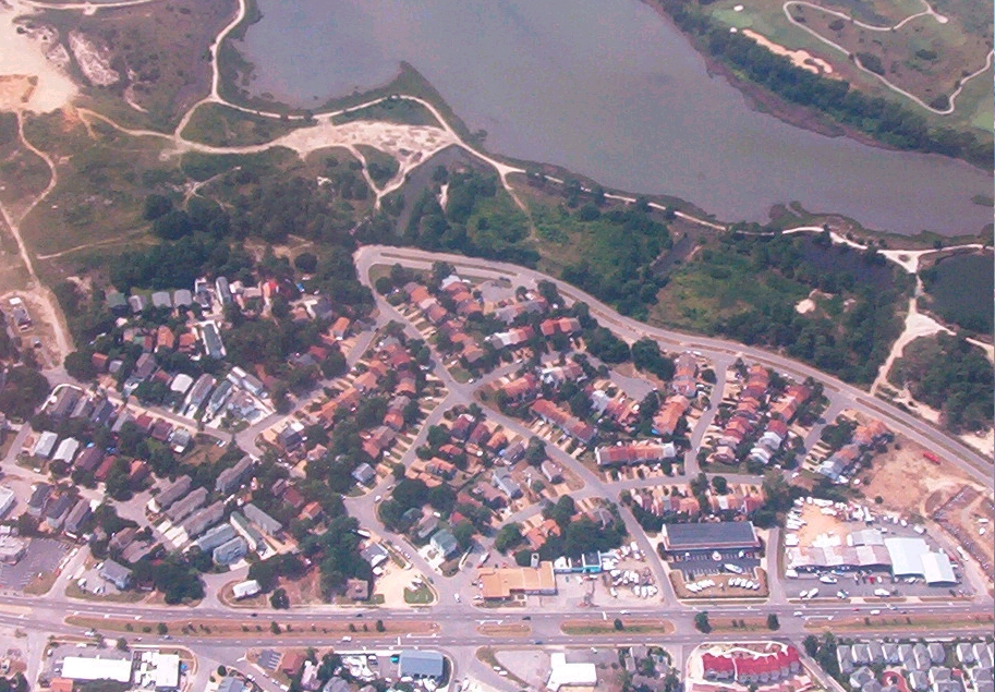
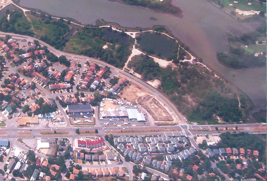
These are aerial photos taken in June 2006 of Ocean Park, Shore Drive and the Wooded-Wetland land
parcel. The large sand area you see at first is an open space, beach-sand plain where many have spent the day fishing,
kayaking, swimming or on a picnic with their family by the Lynnhaven River-Chesapeake Bay. It has long been a hope of the
community that such an area would have been secured to become mainly a natural refuge "gateway", with municipal-use,
open space and preserved beach-park area for families, fisherman, beach-goers and boaters. Just as the Comprehensive
Plan described for this site!
This would be adjacent to and include the wooded wetlands refuge you are about to see and
would ideally include Research & Education areas, Experiential Trail-sites and an eventual Facility-Station operated in
conjunction with Wildlife Preservation agencies, the Va. Dept of Game and Inland Fisheries, Chesapeake Bay Foundation,
Lynnhaven River NOW, and all those interested in creating a precedent-landmark restoration project for the preservation of
the Chesapeake Bayfront and Lynnhaven River.
This would be a benchmark as the GREATEST step made forward in the last 10 years
toward truly preserving, cleaning and protecting the Lynnhaven River and Chesapeake Bay. Virginia Beach would be hailed as
a pace-setter, again, as a "top 10 list" city that truly cares about the resources that make it what it is and so attractive
for those who come to live, visit and vacation here. THIS is what makes our city desirable and that is what ultimately determines
and drives a healthy and strong revenue. It is that simple.
|